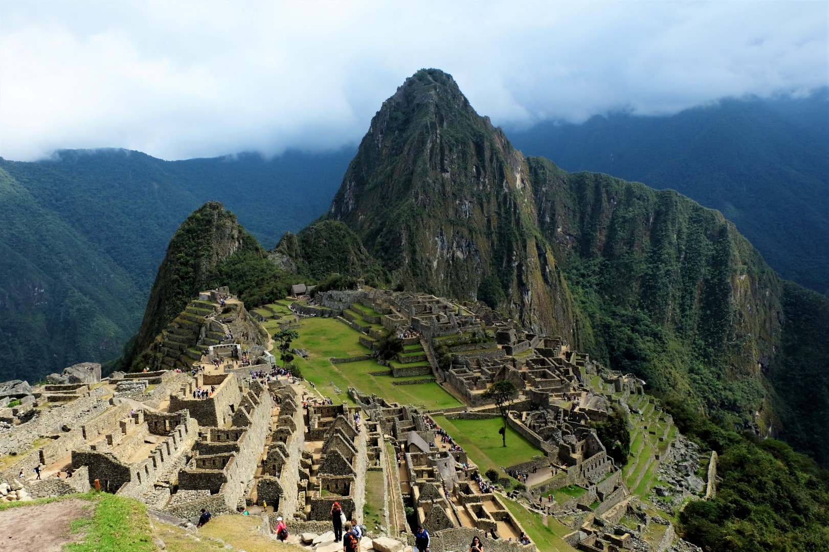
Visiting Machu Picchu is something special. Its location is special too, because it can be reached only by train or on foot. One of the most famous hiking routes in the world is the Inca Trail, which passes through ancient Inca villages before culminating at Machu Picchu. Its enormous popularity has one drawback: a place must be reserved several months in advance. An alternative, though no less interesting, is the Salkantay Trek. National Geographic Adventure Magazine ranked it among the world’s twenty-five best hikes, and that tipped our decision in its favour. The Salkantay Trek is physically demanding: five days and seventy-nine kilometres. But could there be a more beautiful way to arrive at Machu Picchu after several days in nature?
Day 1: Cusco–Mollepata–Soraypampa
As usual in Peru, everything begins with a bus ride. In just under four hours, we travel from Cusco to Mollepata, where we eat breakfast and buy extra fruit for energy. We hand our large backpacks, containing no more than the permitted five kilograms, over to the horses. This is a major advantage, because at altitude, every kilogram feels twice as heavy. The bus then takes us a little way outside the village, where we divide into smaller groups. Willy will be our guide, and there are thirteen hikers altogether. We introduce ourselves: two people from the United States, one man from Brazil, and everyone else from France.
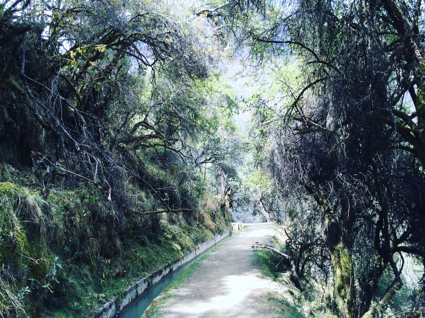
We begin walking at an altitude of 2,900 metres and will be on the trail for around eight hours today. At first, it is steep in places, but later we join a level path traversing the mountainside. A small river runs beside us, and mountain views open all around. The vegetation is distinctive: low trees covered in moss and a variety of flowers. Autumn has begun in Latvia—we are hiking in late September—but spring is arriving in Peru. Here, as at home, dandelions have appeared as its heralds.
During our first snack break, we meet Bruno from Brazil and a French couple, Caroline and Stéphane. This is Bruno’s first solo trip, while the couple spent eight months living in Australia, so they are particularly excited that we plan to stay in South America for a year. Bruno shares Brazil nuts and small honey sweets with us. They are the best Brazil nuts we have ever tasted—an exclusive product, after all, straight from Brazil and the hands of a Brazilian.
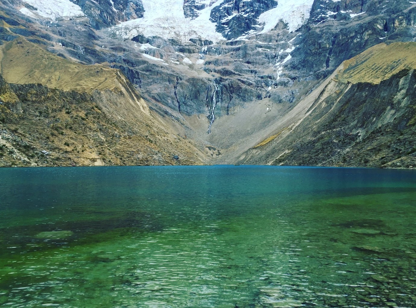
In the afternoon, we reach our first camp at Soraypampa (3,600 metres), overlooking the snow-covered summits of Humantay and Salkantay. The trek takes its name from Mount Salkantay, whose pass we will cross tomorrow. We have an hour and a half before sunset to visit nearby Humantay Lagoon. The climb is much steeper and, after the long day, demands determination. The moment we see the lagoon, every hardship is forgotten. Its water is blue-green, fed by a stream flowing directly from the glacier. Although it is literally ice-cold, Jānis is ready to discover what swimming feels like at this altitude. And that is exactly what he does.
At dinner, we receive instructions for the next day. It will be the most difficult because we must climb to and cross Salkantay Pass. We therefore retire to our tents early. For the night, I put on warm clothes, alpaca-wool socks, and a hat, then wrap myself inside two sleeping bags. This combination warms me quickly, and I fall asleep.
Day 2: Soraypampa–Chaullay–Collpapampa
“Buenos días! Coca té!” Cups of hot coca tea are delivered inside our tent. Without this exclusive service, summoning the courage to open the sleeping-bag zip would be difficult. After the tea, however, we are both awake and warm enough to dress quickly for the hike.
It is still dark outside, and our companions arrive at the breakfast table one by one. Rain begins striking the shelter roof, making an already cold morning less comfortable. Suddenly, Bruno asks somebody to pass the “butterfly” and flaps his arms like wings. Everyone stares, puzzled about what he means. When we realise that Bruno wanted the butter and was miming spreading it on bread, laughter sweeps around the table. That is a happier beginning to the day.
We climb in raincoats. Reaching Salkantay Pass will take around four hours. Drizzle continues, and a blanket of white mist advances towards us. We cannot yet tell whether it will bring snow or heavier rain, but the view is epic. My walking pace is slower than Jānis’s and faster than those of the other group members, so I spend a long time alone. I have already followed several zigzags up one steep section when I see the others below climbing another path. I am alone on mine and begin to think I will have to descend and start again on the neighbouring slope. Several zigzags lower down, our group’s cook appears, and I learn that this route is quicker and will soon rejoin the other.
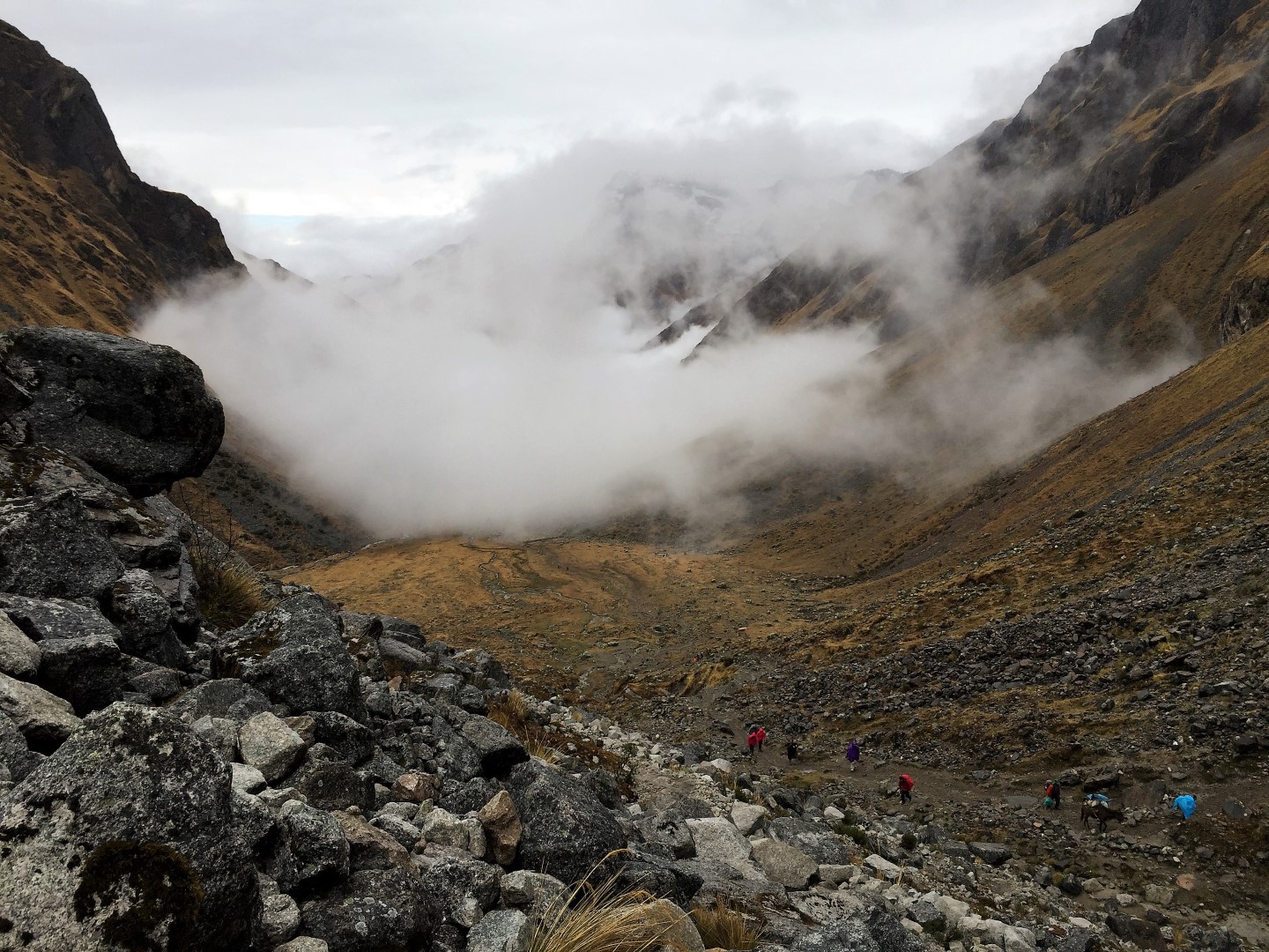
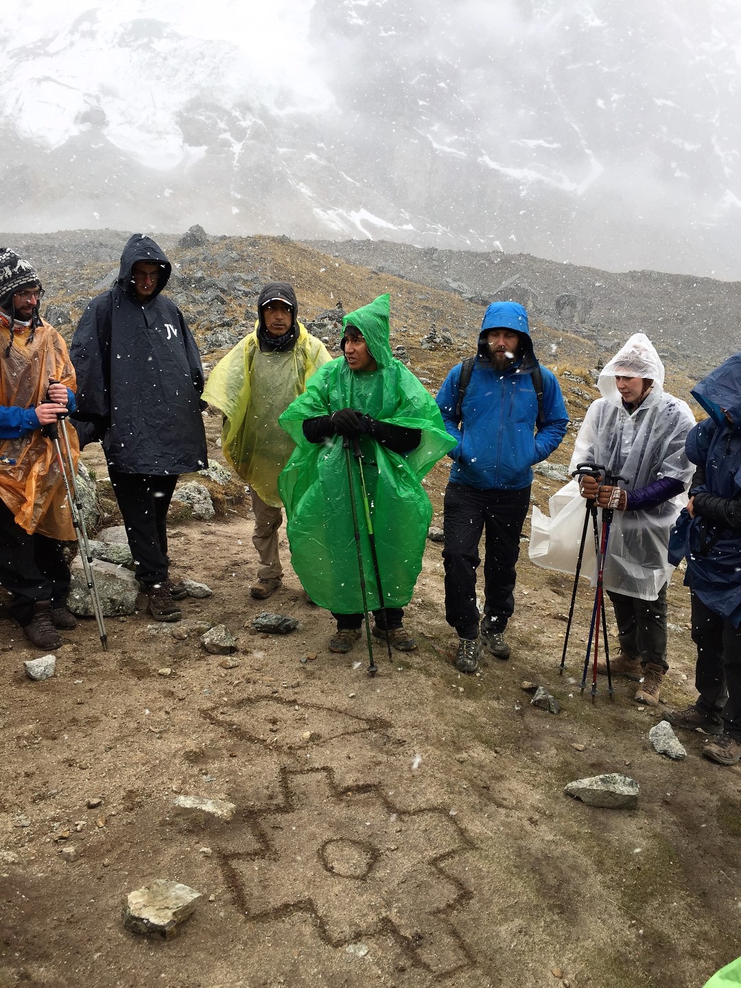
Snow falls quietly around us as we reach Salkantay Pass (4,650 metres), the trek’s highest point! The pass lies where the snow line of Salkantay’s summit (6,264 metres) begins. Together with our companions, we perform an offering of coca leaves as the Incas did and their descendants continue to do. Willy takes three leaves in his hands and raises them towards the four directions. Each of us then places our three leaves onto a cairn. In the sand, Willy draws the Inca cross. Its shape symbolises the Southern Cross constellation, while the centre represents Cusco, the heart of the Inca Empire.
The next seven hours are entirely downhill. For half that time, we cross puna, the grasslands characteristic of the central high Andes. Combined with the mist and countless streams, the landscape has an unusual quality.
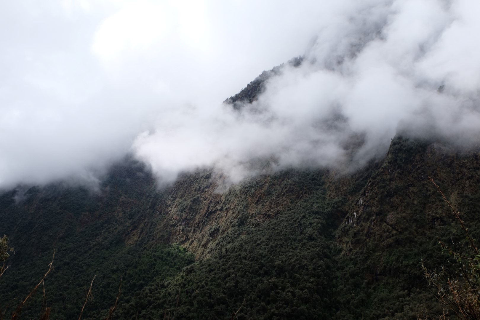
During the final hours before Collpapampa camp (3,100 metres), our surroundings become greener and more tropical. The descent grows steeper, and my knees begin making themselves known. Low trees cover the mountains, with bromeliads growing upon them. In an emergency, incidentally, these plants can provide drinking water. The path also passes through a local community where, judging from the number of houses, perhaps three families live. As on the islands of Lake Titicaca, residents here have been given solar panels. Every journey from a home like this to the nearest settlement requires a hike along a steep trail. No other road reaches it.
Day 3: Collpapampa–Santa Teresa
Today’s nine-hour route follows a winding mountain road downhill. The temperature has grown considerably warmer; we are in a subtropical valley. Coca and granadilla plantations line the road, while local orchids hang in bloom from the mountainsides.
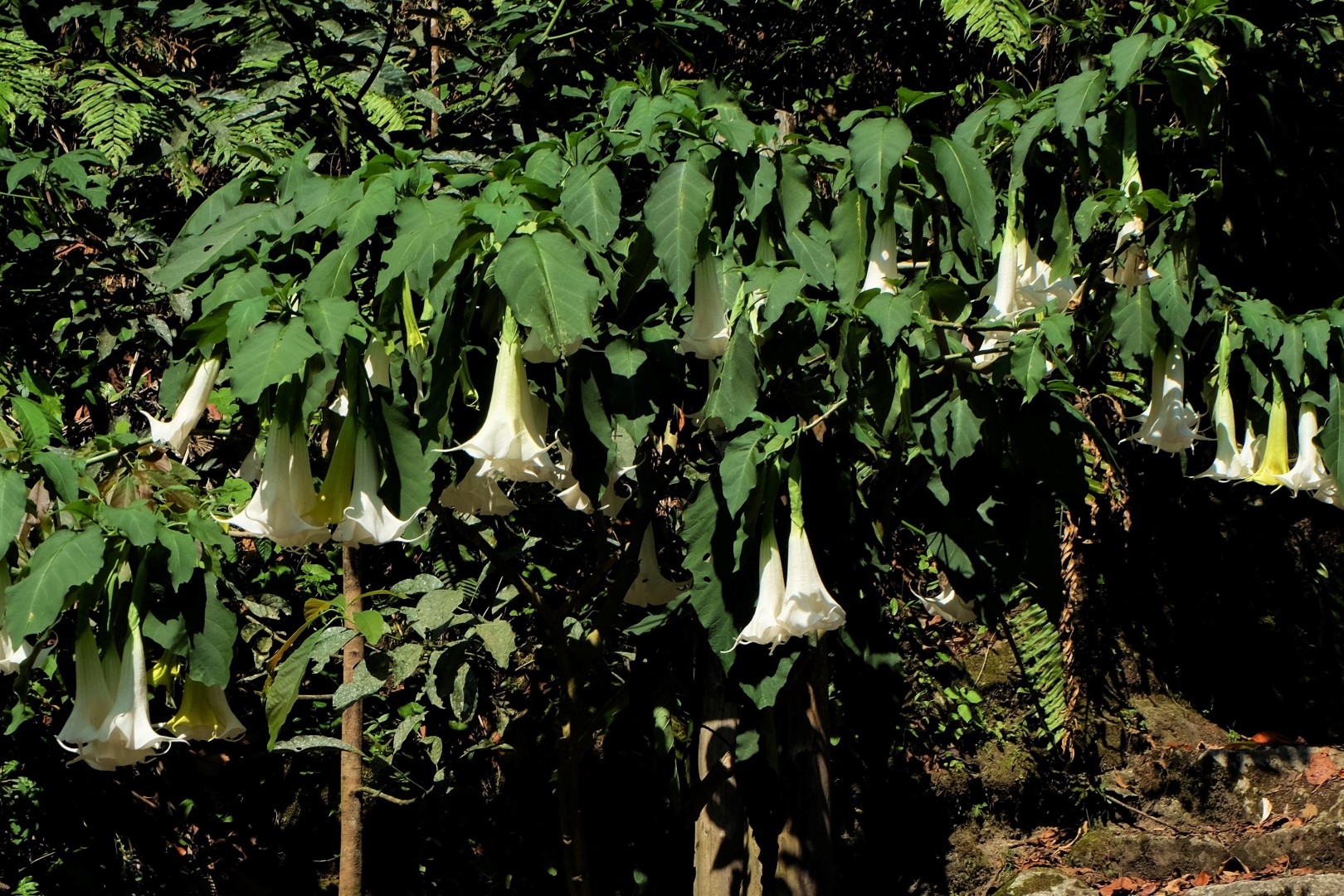
A tree with enormous white flowers also draws our admiration. I knew only that it was poisonous; now I learn its name: Brugmansia, or angel’s trumpet. Willy has a related story about a trekking group several years ago. Knowing the plant’s properties, several men collected it during the hike and brewed “tea” at camp. They spent the rest of the evening running around naked. One participant could see nothing but white and could not escape the condition. He ended up in hospital, while the group’s guide ended up in trouble. Holding the great white flower, Willy concludes, “Never do that unless you want to see white for the rest of your life.”
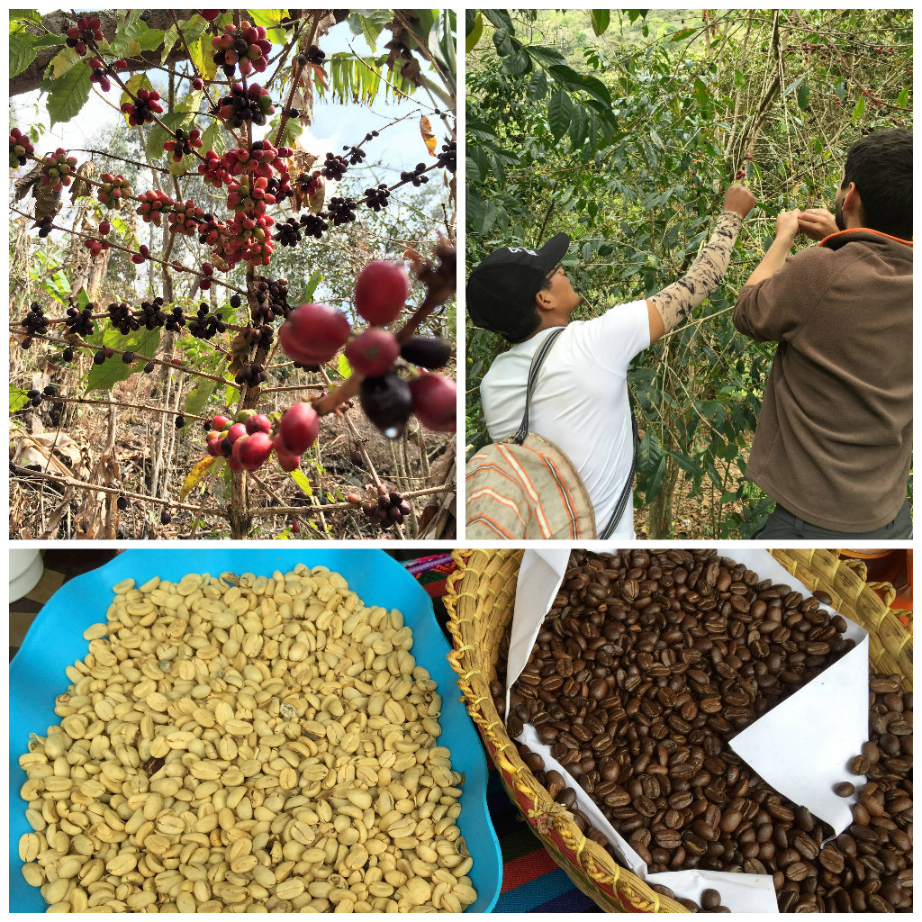
We eat lunch in a small village, where we can pick coffee beans from the trees ourselves, then roast and grind them using local methods. After drinking the delicious coffee, a minibus carries us to Santa Teresa. Our accommodation—the tents—has already been set up. Before settling in, everyone visits the thermal pools. The men begin competing to see who can swim farthest underwater while holding their breath. The spectacle does not go unnoticed; after watching us, local men begin testing their own underwater ability.
Evening arrives, and when Jānis leaves the pool, a cloud of mosquitoes covers him. Other hikers have already suffered bites. A Dutch man and a Brazilian woman have legs covered in red bumps, bleeding in places. Although I spent time in the jungle, I never particularly felt the presence of mosquitoes. Tonight, while everyone is horrified by them and I still have not applied repellent, I realise that most people attract mosquitoes far more than I do. As I later research, whether they like you depends on a combination of factors: blood type (they prefer O), the amount of carbon dioxide you exhale (a larger body mass produces more), how much you sweat, clothing colour (mosquitoes see black and red more clearly), the bacteria on your skin, and more.
At dinner, everyone is pleased that we have successfully completed three days, are clean, and are approaching Machu Picchu. Tonight’s camp is more civilised too; our little tent town even has a bar. Caroline encourages everybody to have beer and succeeds rather well. As a reward for our good work, Willy buys the whole table shots of “Inca tequila”. Later, a bonfire will be lit in the courtyard. From the next table comes the cry, “Arriba, abajo, al centro, pa’dentro!” (“Up, down, to the centre, inside!”). Soon, the French members of our table begin a drinking game and songs of their own. The group moves towards the bonfire in dancing steps. We dance around the flames, Bruno teaches us samba, and another group’s guide enjoys the party so much that he begins buying every round of Inca tequila. Armando from El Salvador is so delighted by Jānis’s Michael Jackson-style dancing that he invites us to visit: “My house is your house.” Endlessly wild—this was the best party of our entire time in South America...
Day 4: Santa Teresa–Aguas Calientes
During yesterday’s madness, the entire group voted to go ziplining. We therefore skip the morning walk and are taken to the Vertical Zip Line office instead. We will travel along cables 250 metres above the valley in various styles: imitating the flight of a condor, hanging upside down, and so on. Altogether, there are five cables between 500 and 1,000 metres long, plus a suspension bridge. Given today’s condition, several faces reveal second thoughts: walking might have been better than hanging upside down from a wire.
Jānis and Stéphane are so excited that, after hearing the instructions, they are the first to launch themselves along the cables. Before the run where the “passenger” is attached upside down by the legs, I ask whether I could travel in the standard position instead. The instructor says no, then grins and admits that actually I can. At the next station, I am already attached when another instructor asks, “With spinning or without?” I say without. He pushes me off and manages to shout after me, “So, with spinning!” Jānis, naturally, has tried every extreme position available.
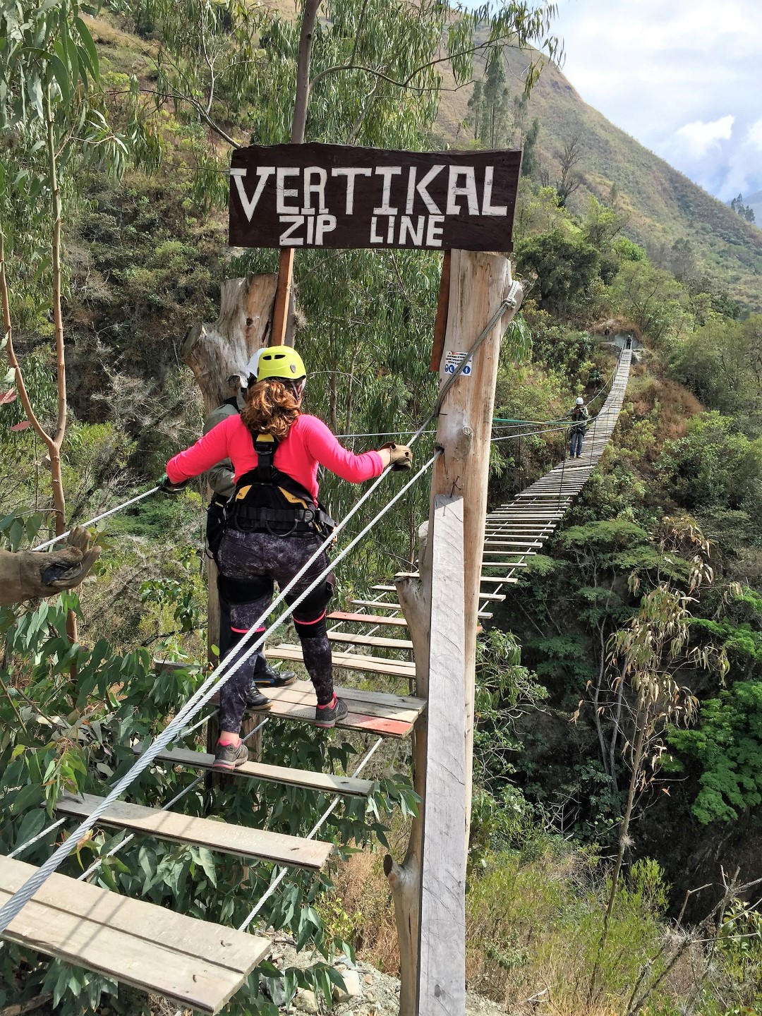
When I reach the suspension bridge full of adrenaline, I am pleased that at least here I can relax for a moment. Planks are arranged rather sparsely along it. In places, the gaps are only a few centimetres; elsewhere, they exceed thirty. I conclude that this might be harder for shorter people and calmly continue step by step. I am nearly at the centre when a large photographer starts across from the opposite direction. We have to pass on the narrow bridge, which tilts sharply to one side. Although I am attached to a safety cable, for practical reasons, I have no desire to fall. I could still hurt myself, and I would certainly panic and be unable to focus on pulling myself back up. I do not even need to fall: the panic has arrived anyway. The bridge still sways violently, and the steps are farther apart in its middle, but I am afraid of missing the next plank. An Australian from another group is behind me, commenting loudly, “Calm down, step, step, step, step...” I think what kind support this is, until I realise he is talking to himself. At the end, we meet and congratulate each other on surviving. Shared fear does bring people closer...
Now for the final line in condor style. “Condors” are attached at the back, with the body horizontal and face down. While waiting my turn, I see the Brazilian couple choose the standard position. But never mind—for me, condor style! I begin flying over the valley. A crosswind starts, and I lift one arm as instructed. The flight stabilises, and I feel as though I am travelling fairly straight. Jānis watched it all and says I looked more like a sideways condor. Another discovery: flying is not easy. :)
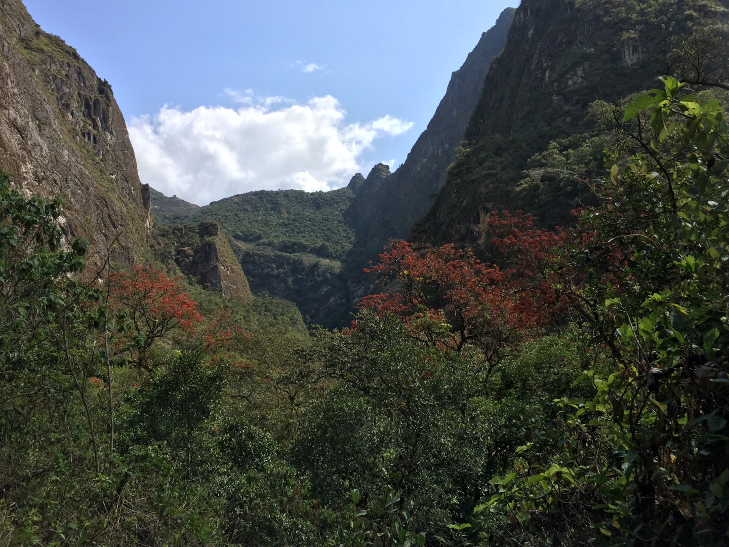
No more entertainment awaits us during the rest of the day. We have to walk again. Today’s route goes from Hidroeléctrica to Aguas Calientes (1,700 metres), alongside the railway and the Urubamba River. We follow the valley between green mountains. Exotic flowers delight me, and occasionally I hear a parrot. From below, the route also gives us a view of Machu Picchu mountain and several ruins on its slope. Tomorrow, we will be there.
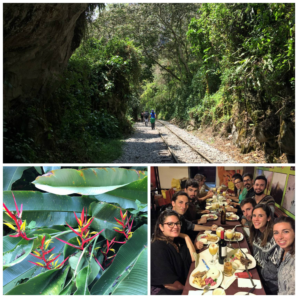
In the afternoon, we reach Aguas Calientes. Everything here has been arranged for tourists: every kind of hotel, overpriced restaurants, massages—anything hikers who completed the trail or exclusive visitors arriving by train might want. Whether you like it or not, reaching Machu Picchu without passing through Aguas Calientes is impossible. After four days in nature, even we find a certain charm in the town—but only because of the shower and food. Tonight, the tents are replaced by a simple hotel room with a real shower.
Day 5: Machu Picchu
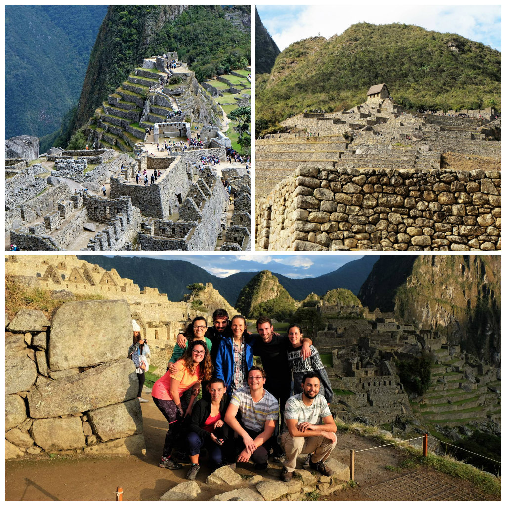
The great day has arrived, the culmination of our hike: Machu Picchu! The whole day is reserved for exploring the site (2,430 metres), but we leave the hotel unnecessarily early at 4:30. With torches, we follow the dark road to the Machu Picchu entrance, where a substantial queue is already waiting. We eat the breakfast we brought while standing there. Soon, the gates open and we begin the steep climb up the mountain. It remains dark, which does nothing to make the high steps more enjoyable. A crowd climbs countless stairs through the darkness; according to my phone, the equivalent of 167 storeys. If somebody offered me the chance to climb a building that high, I would certainly refuse.
And here we are, at the top of the mountain, inside an ancient city in the sky! Once again, we can only marvel at the Incas’ powerful faith and courage in building temples and homes so high in the mountains. Vast views open towards other peaks wrapped in mist, and an extraordinary peace reigns.
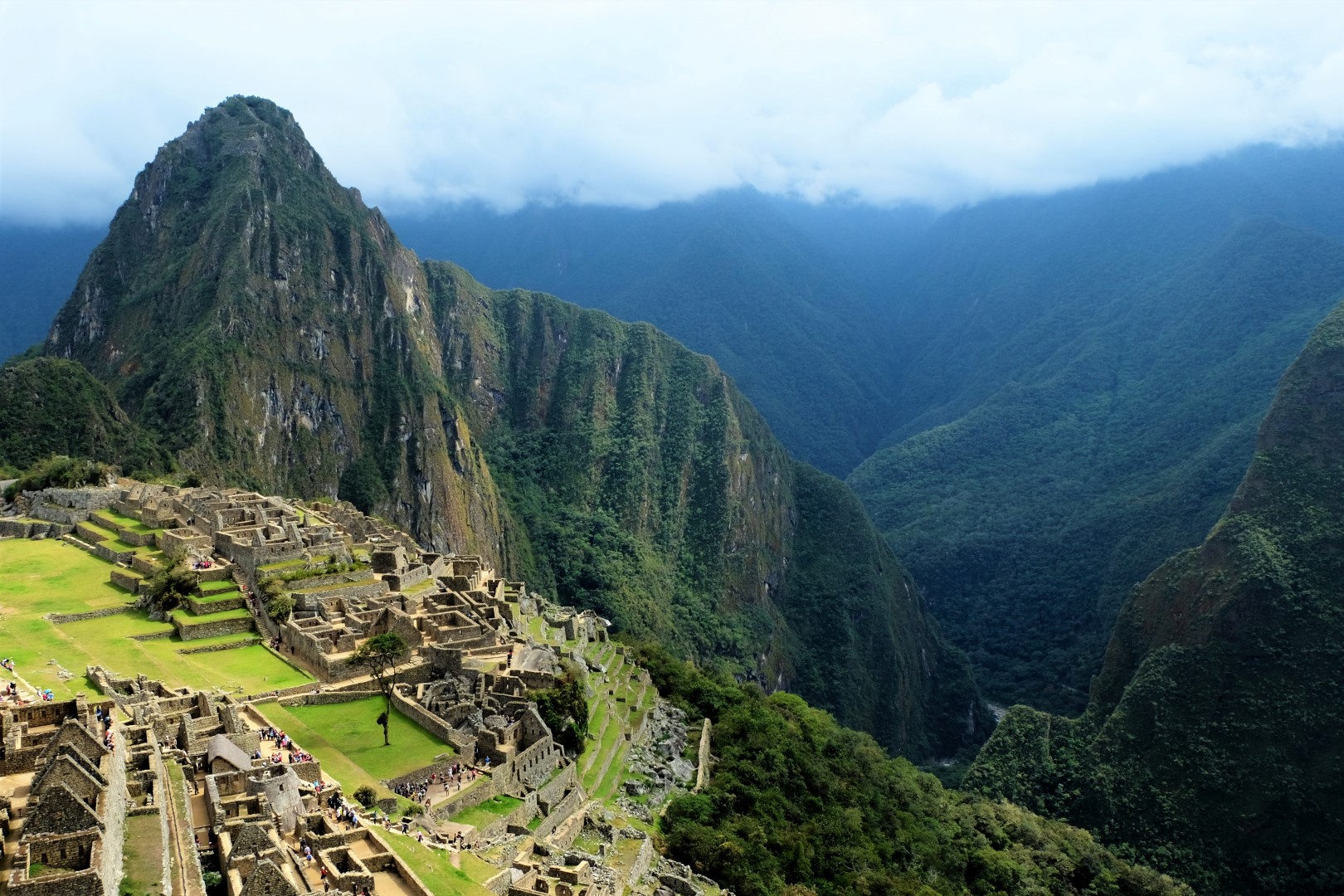
It was worth climbing under our own power in the early morning and being among the first to enjoy the surrounding quiet. Before long, other visitors begin arriving because the buses have started running. Yes, incidentally, you do not have to climb: a bus costs ten dollars each way. Then the commotion of selfie sticks begins. People cover every location offering the most popular photographs. Because Machu Picchu is the most visited attraction in South America, daily admission is limited to 2,500 people.
We escape the crowd to some extent because Willy leads a tour of Machu Picchu’s most important—though not most photogenic—places. The city was built around 1450 but abandoned only a century later when the Spanish conquerors arrived. Another theory holds that residents died from smallpox brought by travellers even before the conquest. Although Machu Picchu lies only eighty kilometres from Cusco, the Spanish never found it, so the site escaped the destruction visited upon most Inca cities.
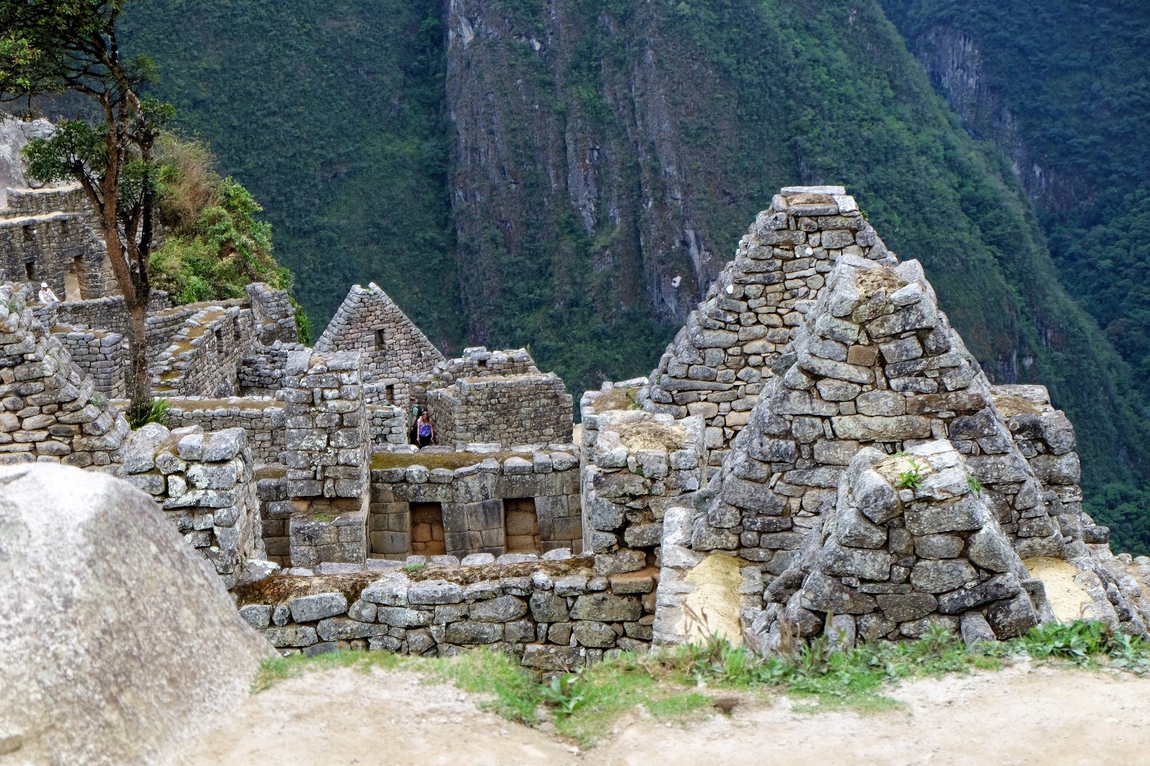
Machu Picchu is divided into agricultural and urban sectors. The eastern side may have been residential, while temples were constructed in the west. The principal places include Intihuatana, the Temple of the Sun, and the Room of the Three Windows. They honour Inti, the sun and supreme Inca deity. Intihuatana is a ceremonial stone positioned precisely to indicate the sun during the winter solstice. People of the highest rank lived in a separate zone. The homes of amautas, or wise people, were distinguished by reddish walls, while ñustas, or princesses, occupied trapezoidal rooms. Lower-status residents lived in much simpler buildings. Terraces constructed on the mountainsides solved the problem of landslides and provided space for agriculture.
In 1911, American historian and explorer Hiram Bingham travelled through the region searching for an ancient Inca settlement, the “Lost City of the Incas”. A farmer’s son led him instead to Machu Picchu. At that time, vegetation covered much of the city, and people even lived in several buildings. Bingham initially believed he had found the Lost City, the Incas’ final refuge before their empire fell to Spain. Later archaeological research indicates that Vilcabamba is a stronger candidate for that title.
Bingham is regarded as the discoverer of Machu Picchu—yes, because he made the place known to the world. Unfortunately, every Inca treasure had long since been “discovered” before his arrival. Willy tells us that well before Bingham and other earlier visitors, a man and his “team” from Mollepata came here. History is silent about him because his name is associated more with looting ancient sites than archaeology. He excavated Machu Picchu, and stories still circulate of valuables kept in his house and the enormous golden cup from which he drank.
Bingham, however, performed his work honourably. His archaeological excavations opened Machu Picchu to the public, and interested visitors began arriving from across the world. In 1981, the Peruvian government declared it a Historic Sanctuary. In 1983, it became a UNESCO World Heritage Site, described as “a unique testimony of the Inca civilization” and an architectural masterpiece.
Intriguingly, nobody knows the city’s true name. It became Machu Picchu because that is the name of the mountain on which it stands—“old mountain” or “old peak” in Quechua.
And so our adventure through nature and history ends. Walking to Machu Picchu was the best choice for us. It made us think more deeply about the site’s history and appreciate our arrival more fully. And what is the greatest value of a multi-day hike like this? The people. We spent five wonderful days in conversation, laughter, and song with our companions.
Daily distance statistics from my phone:
- Day 1: 20 km
- Day 2: 25 km
- Day 3: 17 km
- Day 4: 15 km
- Day 5: 18 km
Total: 95 km and 510 storeys climbed.
And here is our hike in video form: